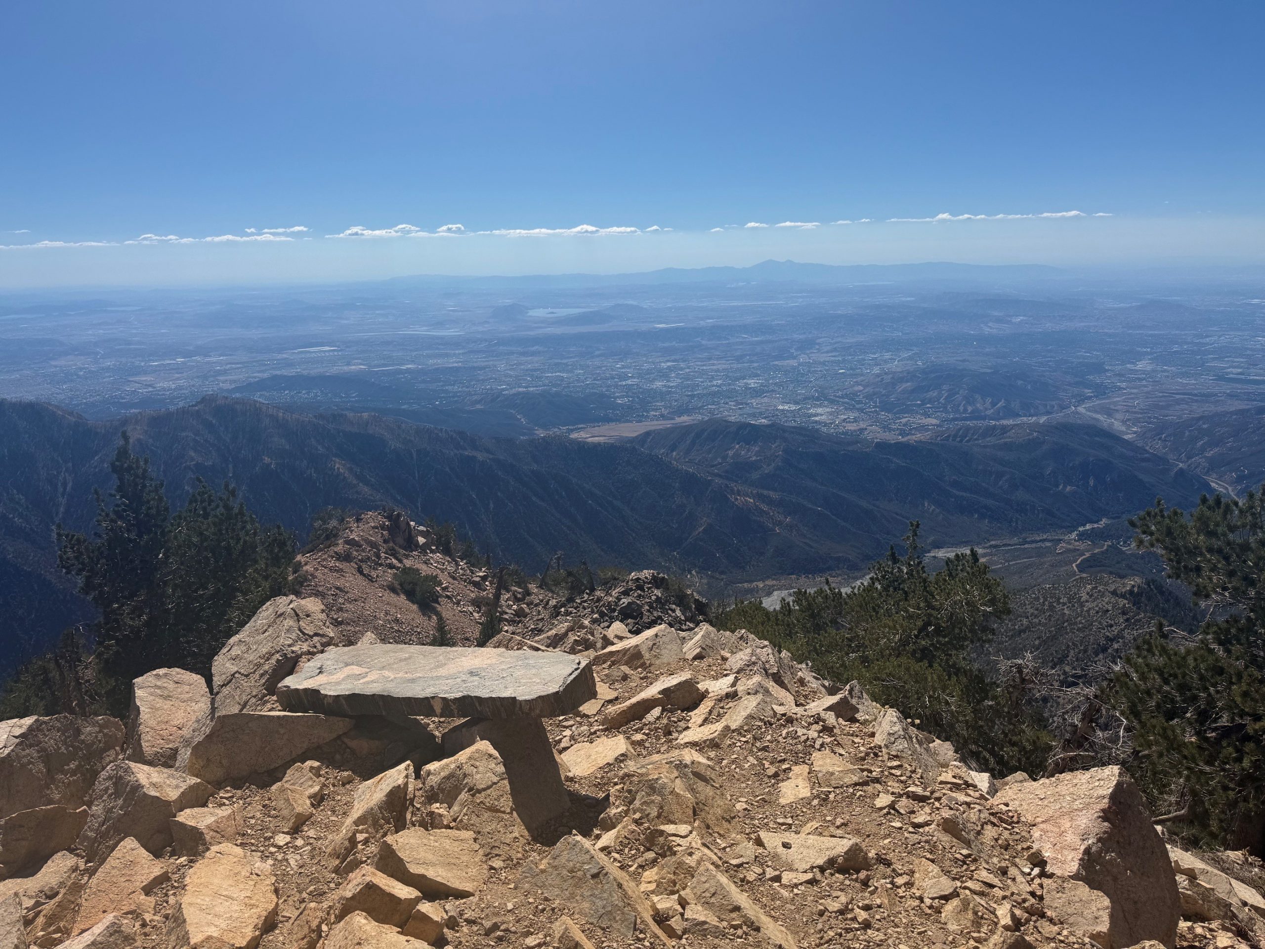
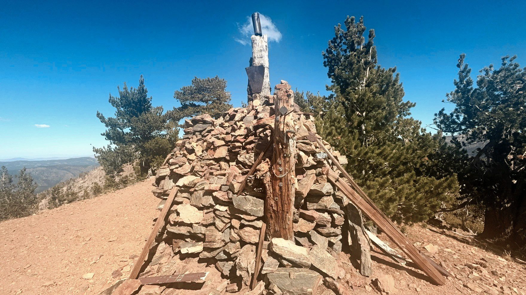
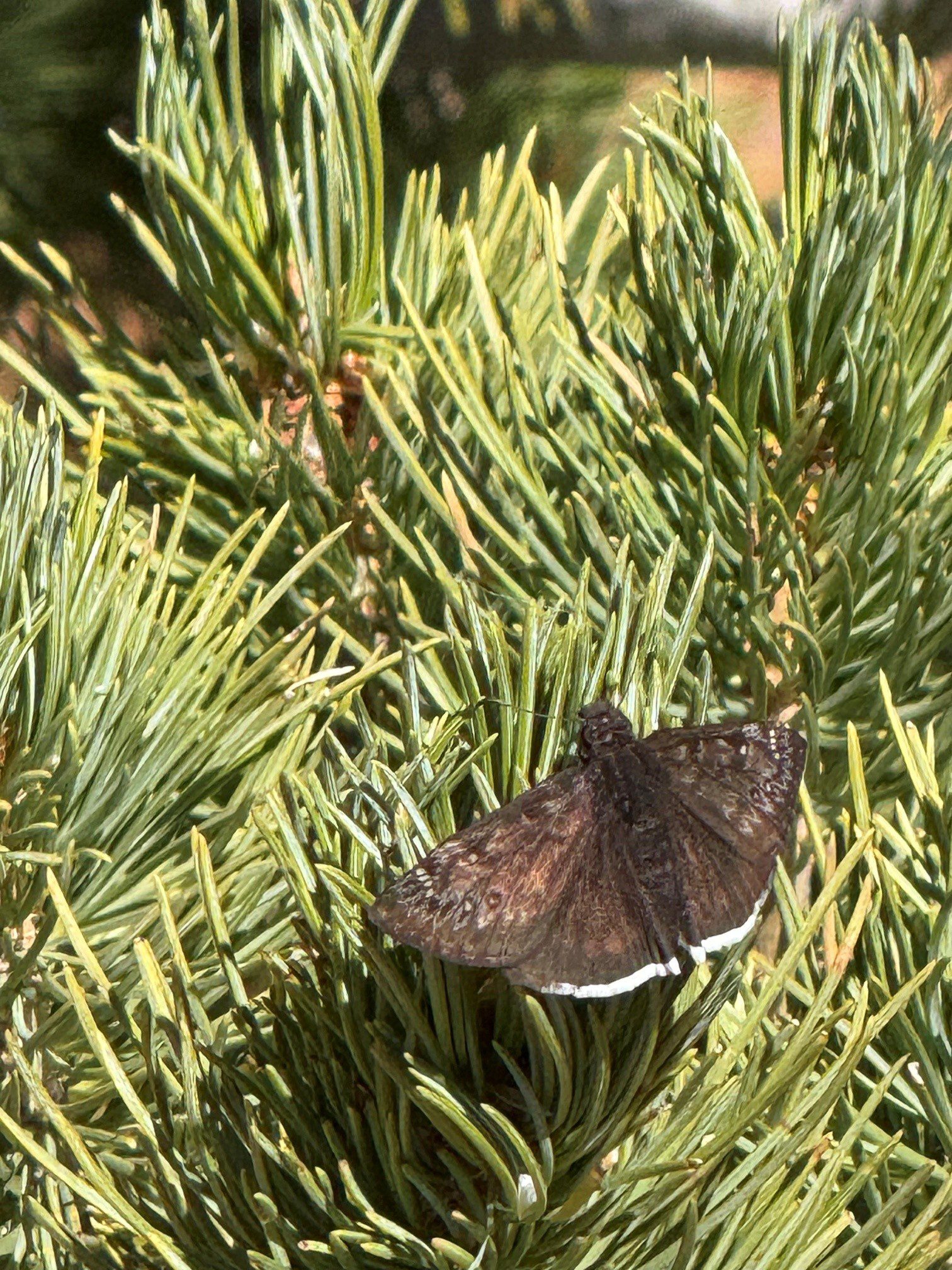
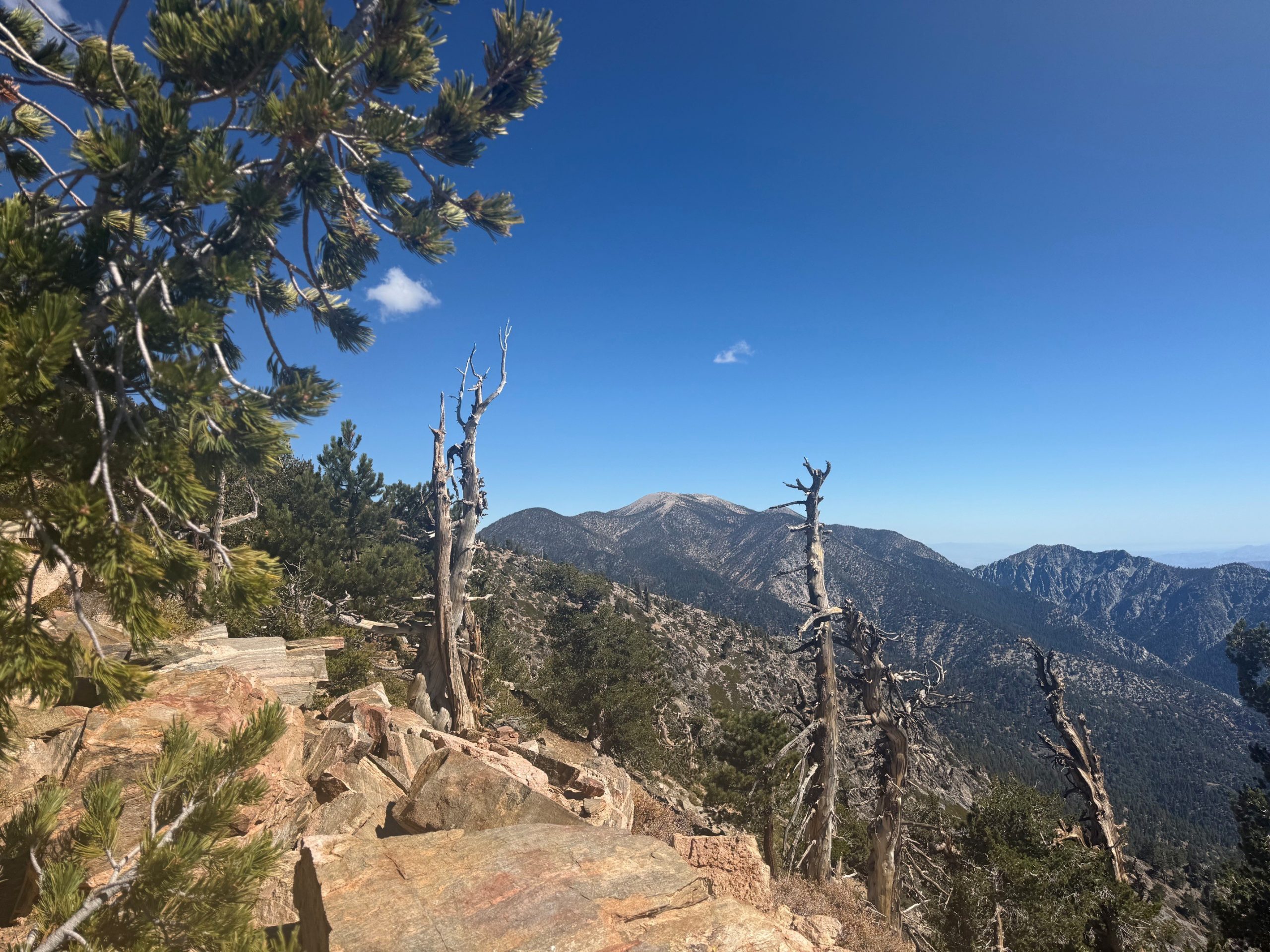
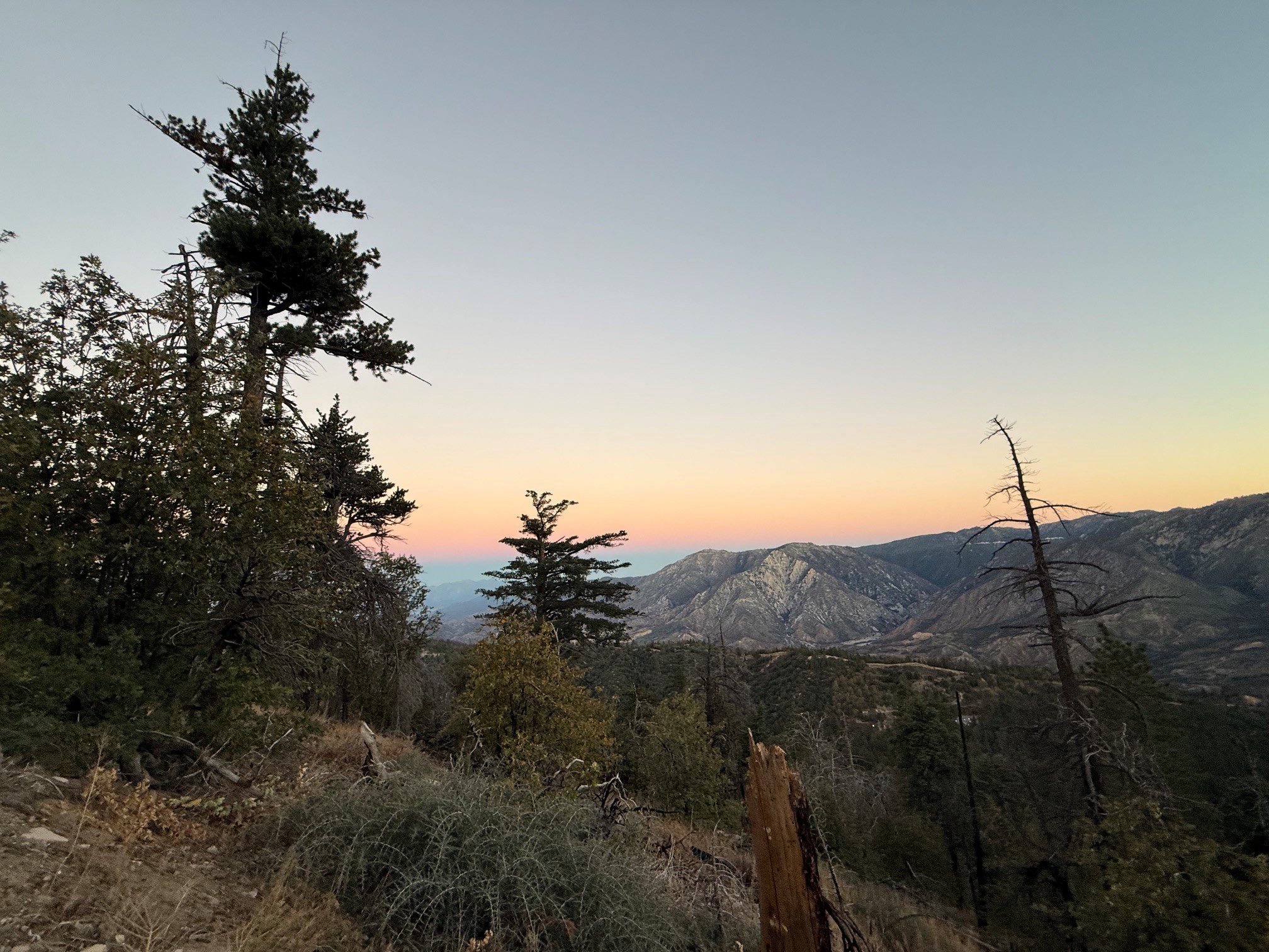
We would like to thank Heather Hill of Redlands for sharing spectacular photos of Washington’s Monument, a historic landmark in the San Bernardino Mountains.
Washington’s Monument is a surveying marker established by Colonel Henry Washington in 1852. It’s located on a ridge just west of the summit of San Bernardino Peak in the San Gorgonio Wilderness. The monument originally consisted of a pile of rocks topped with a 25-foot wooden pole and tin reflectors designed to make it visible from the valley below. It served as the point of origin for the San Bernardino Base Line and Meridian, which is the reference system surveyors used to map and divide much of Southern California.
The monument sits at approximately 10,300 feet above sea level. To reach it, hikers must follow the San Bernardino Peak Trail from the Angelus Oaks trailhead. The round-trip hike is approximately 15–16 miles with around 4,300 feet of elevation gain. Continuing to the 10,649-foot summit of San Bernardino Peak adds roughly half a mile each way. This is a strenuous and full day hike. A free wilderness permit is required for day and overnight hikes and is available through sgwa.org.