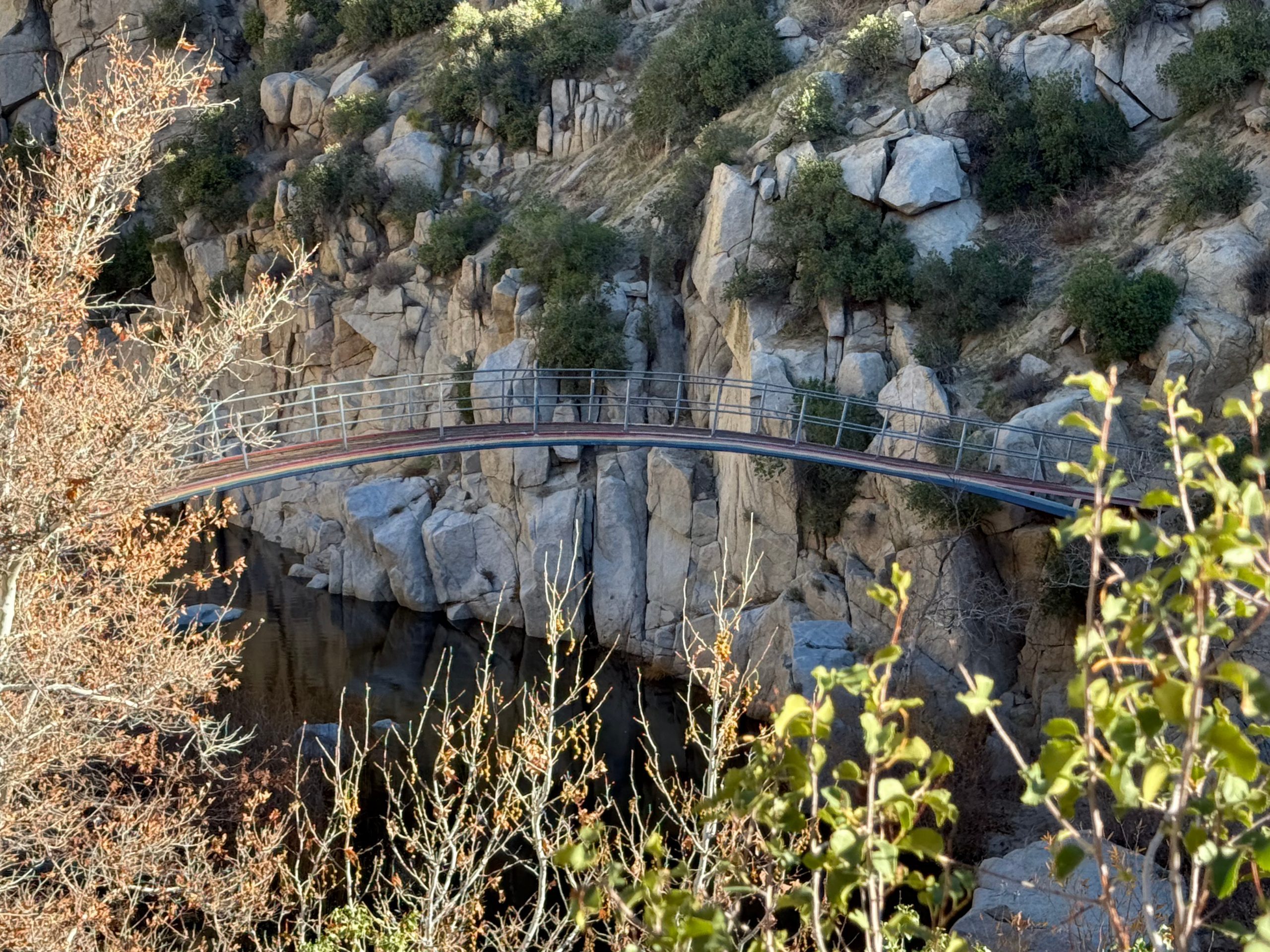


We would like to thank Deana Bohnsack of Victorville for submitting incredible photos of her favorite San Bernardino County destination.
The Pacific Crest Trail covers 2,650 miles between Mexico and Canada. Along the way, it passes through California, Oregon and Washington. It takes travelers across the desert, through the glaciated expanses of the Sierra Nevada, into deep forests, and leads to spectacular views of volcanic peaks in the Cascade Range.
Each year, many hikers and equestrians enjoy the trail in different ways. Some travel for a few miles, while others complete the entire trail in a season. Along the way, you’ll come across the Rainbow Bridge, which is definitely worth seeing. For more information about the Pacific Crest Trail, please visit the San Bernardino National Forest website.
Additional County Update News – January 15
- County Board of Supervisors approves relief to help storm-impacted property owners rebuild and recover
- Board Actions – Jan. 13
- Public Health encourages vaccination to prevent serious disease
- Leading with Purpose: How a woman-led manufacturer thrived with workforce support
- Solo art exhibition, Rudy Ramirez: A retrospective, 1969-present
- The heart behind fostering: Real experiences from a pet foster family
- SBC LevelUP-A new way to prepare for county careers
- Did You Know: Trona Pinnacles
- Call for submissions: Share your favorite San Bernardino County destinations
- San Bernardino County history: Origin of the Inland Empire
- Things to do in San Bernardino County
- Pet of the Week: Hopper