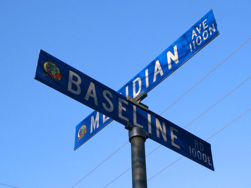
Shortly after the American Revolutionary War, the newly formed United States government became responsible for millions of acres of land west of the original thirteen colonies. The government wanted to reward the Revolutionary War soldiers for their service by granting them land while also raising money for the new nation by selling parcels of land.
Before the land could be given away or sold, it needed to be surveyed and divided into sections. The Public Land Survey System, originally proposed by Thomas Jefferson, provided a way to divide the newly acquired land. Rather than conducting one enormous survey, the government established a series of individual surveys.
Each survey would begin at an initial point, which is then given a unique name. A north-south line was known as Principal Meridian and an east-west line was called a Baseline. These lines provided a framework for dividing surrounding land into townships and parcels.
When California became a state in 1850, much of its land needed to be surveyed and officially mapped by the federal government. In 1852, Colonel Henry Washington, a United States deputy surveyor, established an important surveying landmark on one of the highest peaks in the San Bernardino Mountains.
The monument served as the first initial point for what became known as the San Bernardino Baseline and Meridian. From this point, surveyors established two major reference lines. The Baseline extended west to the Pacific Ocean and east to the Colorado River at the Arizona border, and the San Bernardino Meridian extended south to the Mexican border. California eventually had three Principal Meridians including the Humboldt Meridian, the Mount Diablo Meridian and the San Bernardino Meridian.
Over the next several years, government surveyors traveled throughout San Bernardino County and Southern California using the San Bernardino Meridian and Baseline as reference points to measure and divide land. A reminder of this historic surveying project can be found in Baseline Road, which runs through the cities of Fontana, Highland, Rialto, Rancho Cucamonga, San Bernardino and Upland and Meridian Avenue, which runs through Rialto and San Bernardino.
Additional County Update News – November 12, 2026
- Dogs from Newberry Springs animal welfare investigation now available for adoption
- El Niño Response Spotlight: Protecting your furry family members
- Volunteers needed for San Bernardino County’s annual homeless count
- San Bernardino County Veterans Affairs helps veterans navigate disability benefits at no cost
- From service to skilled careers: Workforce partnerships power veterans’ next mission
- Pioneertown draft ordinance now available for public review
- Community vision continues at Desert View Conservation Area
- Celebrate the renovated playground at Glen Helen Regional Park
- Discover three new career spotlights on SBC LevelUp
- SBC Through Your Eyes: Loch Leven to Angelus Oaks Trail
- Submit your photos and videos of the county’s destinations, nature and cityscapes
- Things to do in San Bernardino County
- Pet of the Week: Blue Jay