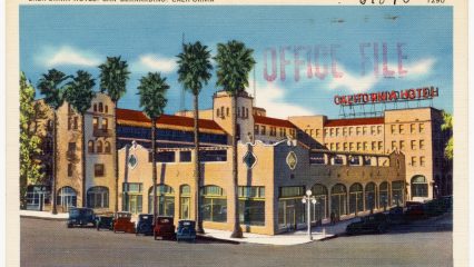
By Tichnor Brothers, Publisher – Boston Public Library Tichnor Brothers collection #61095, Public Domain. By the late 1920s, the city of San Bernardino had grown to a population of more…
116 results
By Tichnor Brothers, Publisher – Boston Public Library Tichnor Brothers collection #61095, Public Domain. By the late 1920s, the city of San Bernardino had grown to a population of more…
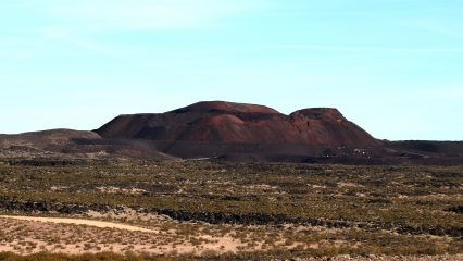
Pisgah cinder cone by Jeff Cuneo – Own work, CC BY-SA 4.0. Today, travelers driving along Interstate 40 across the Mojave Desert may notice a series of peculiar features on…
Lake Gregory. Adjacent to Crestline is Lake Gregory, a man-made lake in the San Bernardino National Forest. The area, originally known as Houston Flat, was developed in the early 1900s…

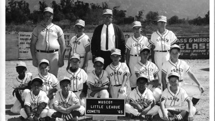
A photo of the Muscoy (CA) Little League Comets taken in 1965. Photo courtesy of William Childers. Spanish and Mexican land grants made up much of the Inland Empire during the early…
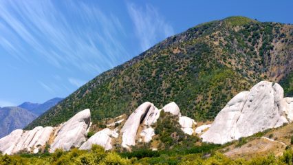
The Mormon Rocks are visual evidence of the San Andreas Fault beneath the surface. Photo courtesy of Hear2heaL. Earth’s crust is made up of large fractured plates that have moved…
Ludlow Cafe in the late 1940s. Ludlow is a small town in the Mojave Desert. In the 1880s, the Southern Pacific Railroad became involved in a high-stakes gamble to build…

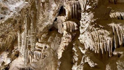
Mitchell Caverns. Photo courtesy of Bruce Herwig. Providence Mountains State Recreation Area is a remote Mojave Desert park and the home of the Mitchell Caverns. The caverns are located approximately…
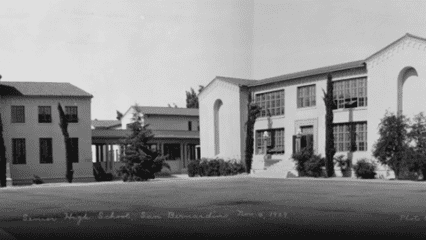
San Bernardino High School in 1929. In 1891, residents of San Bernardino approved a $60,000 bond to construct a high school. One year later, San Bernardino High School was officially…
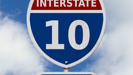
Interstate 10 highway sign. Before the Interstate Highway System, a patchwork of country roads and trails connected the four corners of the United States. Today, one of the most recognizable…
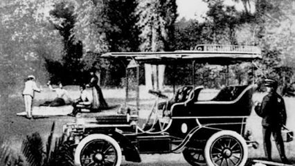
A Haynes-Apperson automobile advertisement. Although the automobile was first invented and developed in Germany and France in the late 1800s, the United States quickly became a leader in the automotive…