
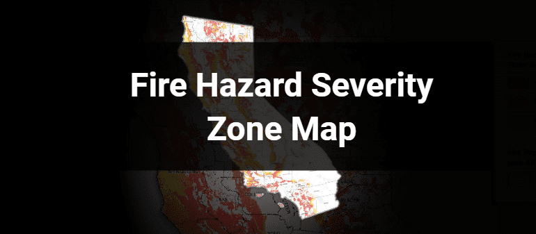
San Bernardino County residents are encouraged to review and provide feedback on the recently released Fire Hazard Severity Zone map from the California Office of the State Fire Marshal. This updated map categorizes county areas into three wildfire risk levels—moderate, high and very high—in alignment with SB 63 (2021).
The previous Fire Hazard Severity Zone map was last updated between 2008 and 2011 and identified only very high fire hazard zones in local responsibility areas. The new map includes all three fire hazard risk levels, helping residents gain a clearer understanding of wildfire threats in their communities.
Fire Hazard Severity Zone ratings are based on a range of factors, such as the likelihood of fire ignition, potential fire behavior under extreme weather, historical fire incidents, types of flammable vegetation, terrain features like hills and canyons, proximity to wildlands, and anticipated weather patterns over the next 50 years. In addition, the ratings account for flame and ember intrusion from nearby wildlands and flammable vegetation within urban areas, offering a more localized evaluation of wildfire risk.
While local governments cannot lower the state-assigned fire hazard risk ratings, they may choose to increase ratings if local conditions warrant.
These ratings guide important safety regulations, including California’s Wildland Urban Interface building codes. New buildings in high and very high-risk zones must follow enhanced safety construction standards, and property owners must maintain defensible space by clearing vegetation to reduce wildfire risk.
The public comment period for the new Fire Hazard Severity Zone map ends on April 30. The county will hold public hearings and ordinance readings before the formal adoption of the Fire Hazard Severity Zone map by the Board of Supervisors on June 10.
To learn more about the Fire Hazard Severity Zone Map and submit public comment, visit sbcfire.org/fire-hazard-severity-zone-map.
Additional County Update News – April 17, 2025
- Chino Airport’s strategic plan unveils 300 acres for development
- County wins 2025 EPIC Award for inspiring tomorrow’s workforce
- CONFIRE Dispatcher Jessica Trice’s role in a home birth
- County Animal Care celebrates Animal Control Officer Appreciation Week
- Children’s Network shines a light on child abuse prevention
- Empowering voices this Mental Health Awareness Month
- CFS hosts Youth Enrichment and Exploration Program kickoff events
- High School Voter Education Weeks: Encouraging students to get involved in their community
- DAAS-PG celebrates Older Americans Month: Flip the Script on Aging
- Applications now being accepted for the San Bernardino County Civil Grand Jury
- County Museum pulls back the curtains with new blog series, Great Things Behind the Scenes
- San Bernardino County destinations: Big Falls Trail
- Call for submissions: Share your favorite San Bernardino County destinations
- San Bernardino County history: Agua Mansa
- Things to do in San Bernardino County
- Pet of the Week