
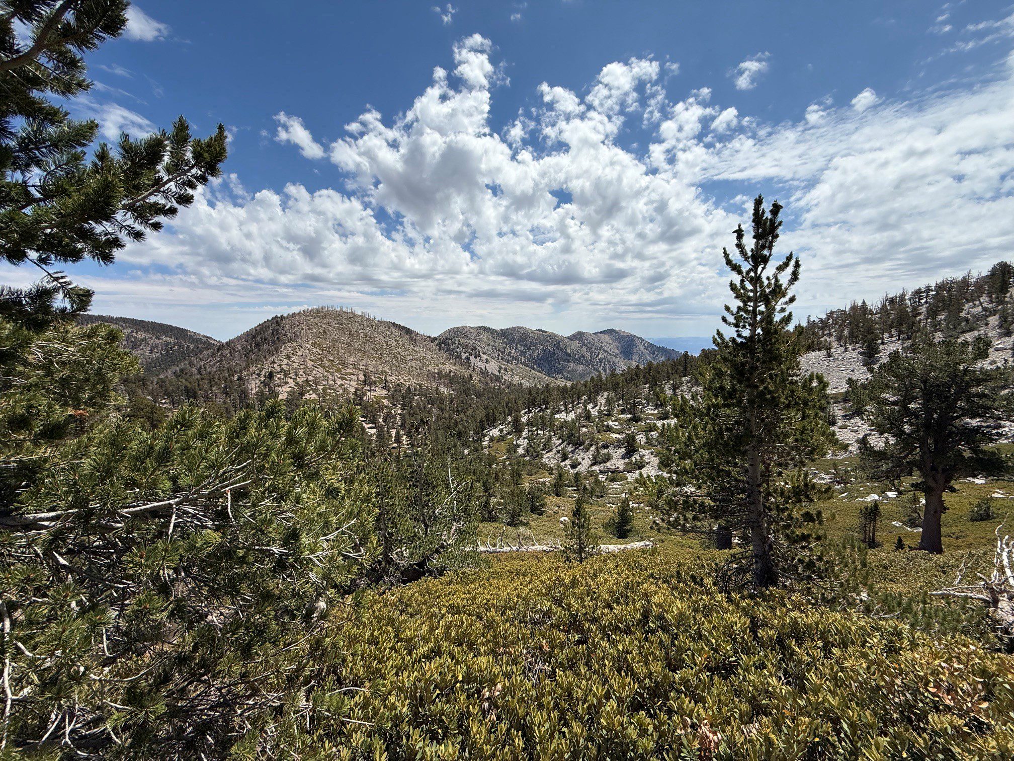
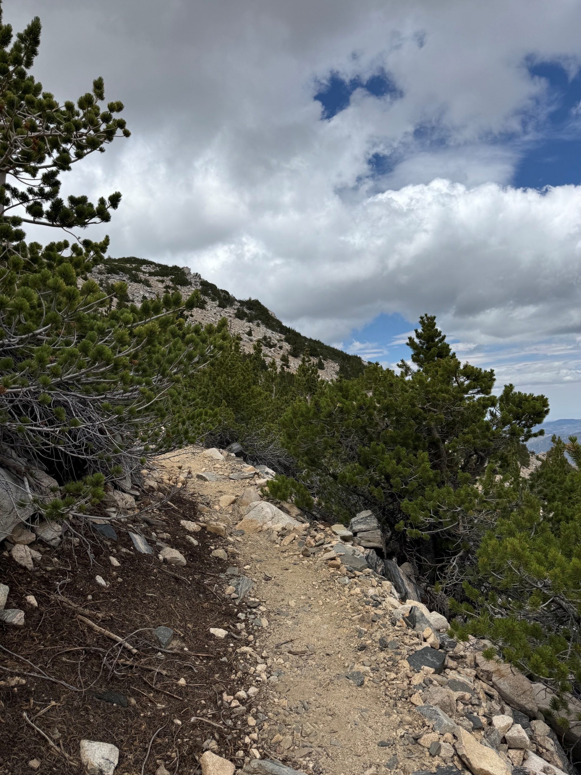
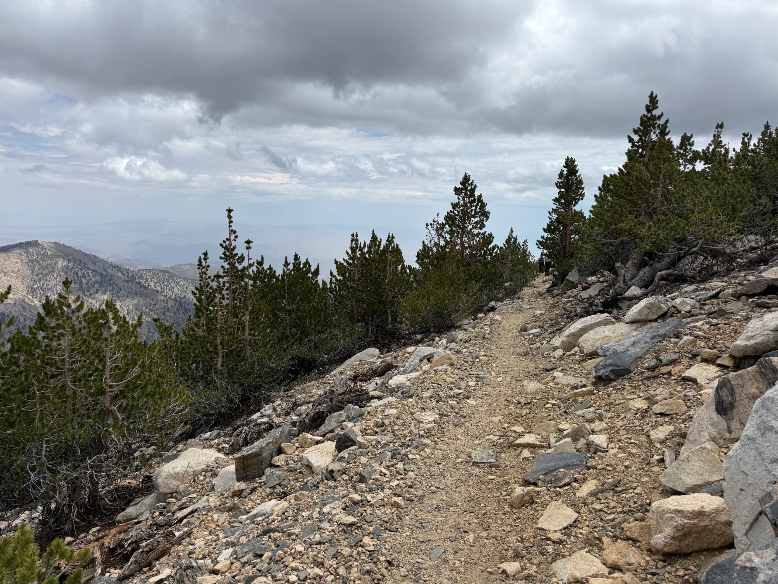
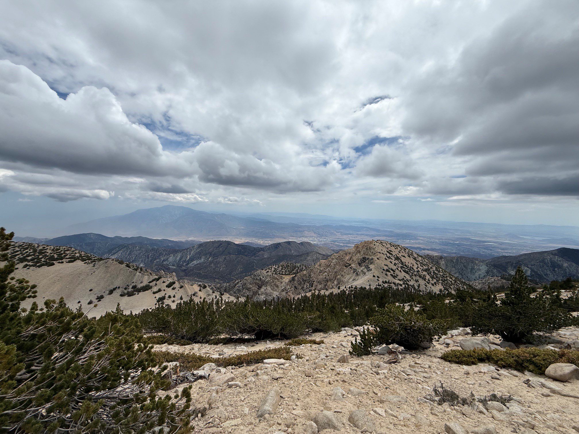
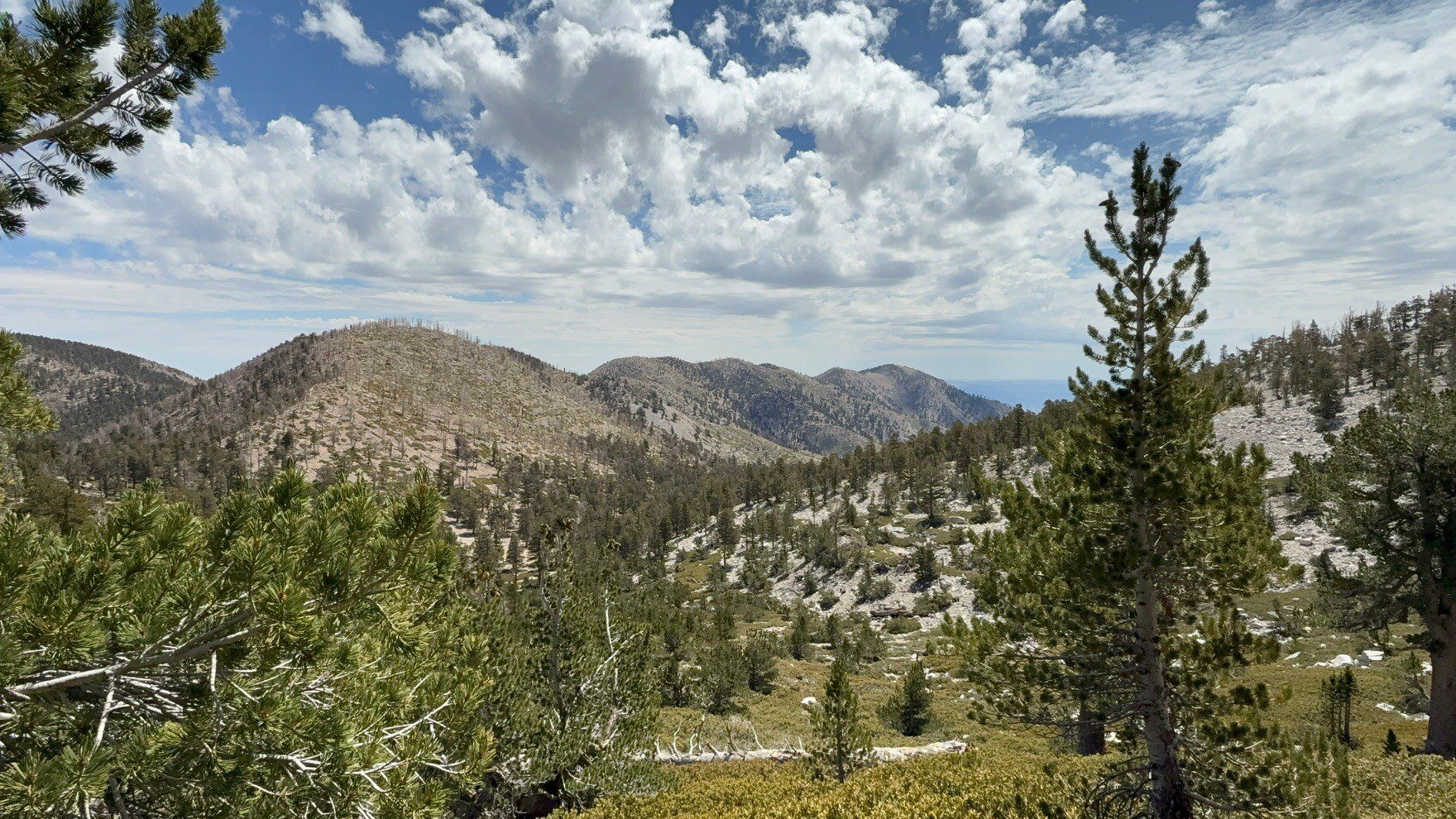
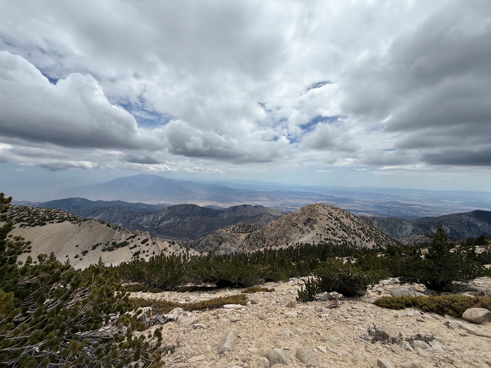
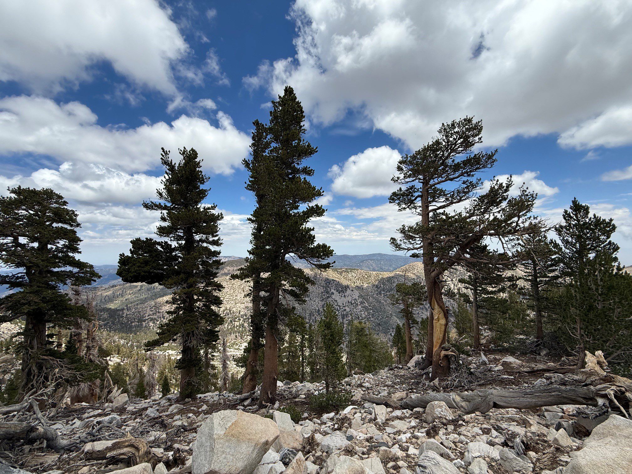
We would like to thank Heather Hill of Redlands for submitting incredible photos captured along the Sky High Trail in Angelus Oaks.
The Sky High Trail takes hikers to sights few people get to experience. This 3.7-mile trail travels behind San Gorgonio Mountain on the way to its 11,503-foot summit. Beginning near Mine Shaft Saddle at approximately 9,900 feet in elevation, the trail climbs to about 11,300 feet before reaching the junction with the San Bernardino Peak Divide Trail. Reaching the Sky High Trail requires a moderate to difficult hike via the South Fork Trail, but the scenery makes the effort worthwhile.
Along the way, hikers can enjoy views of the historic 1952 C-47 airplane wreckage, Big Horn Mountain, Dragon Head Peak, the Tarn, Yucaipa Ridge and San Jacinto Peak. The trail begins at the South Fork Trailhead in Angelus Oaks. An Adventure Pass is required to park in the South Fork Trailhead parking lot, and a free wilderness permit is required for hiking in the San Gorgonio Wilderness. Wilderness permits are available at www.sgwa.org.
Additional County Update News – August 6, 2026
- Board actions, Aug. 4
- SPARK closing ceremony celebrates growth, opportunity and the future of public service
- 2026 State of the County to spotlight businesses and celebrate 100th anniversary of Route 66
- Residents find relief and hope after county purchases supportive housing community
- Cards and letters for Jackie continue to arrive at Station 96
- Behind the Ready: Meet the People Supporting Emergency Management
- Office of Emergency Services seeks public input on Hazard Mitigation Plan
- Human Resources earns five 2026 NACo Achievement Awards
- County Library expands online learning resources with Homework CA
- Submit your photos and videos of the county’s destinations, nature and cityscapes
- San Bernardino County history: Colton Crossing
- Things to do in San Bernardino County
- Pet of the Week: Daisy