
What began as a river crossing used by Indigenous people launched the development of the city of Victorville.
Since ancient times, Indigenous people have used the widespread trail networks of the East Mojave Desert for migration and trade. Many of these trails intersect with each other at narrow passes and safe river crossings such as the Lower Narrows, now known as Lane’s Crossing in present day Victorville.
The Serrano-Vanyume village of Tobiabit was located at this site. The Mojave River flowed nearly all year, providing travelers with water and rest. The first American expedition to use this crossing was under the command of Jedediah Smith in 1826.
The crossing was later named after Aaron Lane who established Pioneer Station in the mid-1800s. Sheldon Stoddard, another settler in the area, dug a well along this route. The road eventually became known as Stoddard Wells Road. A road ran between the two locations, which is roughly the alignment of D Street, National Trails Highway and Turner Ranch Road.
In the 1880s, a railroad station and telegraph office was built about one mile northwest of the narrows. It was named Victor, after Jacob Nash Victor, the California Southern Railroad’s construction superintendent.
As more settlers arrived, a small town formed around the railroad facility and became known by the same name of Victor. On Jan. 18, 1886, the town plan for Victor was prepared, which laid out the grid pattern of the town. The original subdivision included property between A Street through G Street and First Street through Eleventh Street. The area encompassed approximately 200 acres.
In 1901, the U.S. Post Office Department changed the town of Victor to Victorville due to postal confusion with the town of Victor, Colorado.
As time went on, Victorville continued to grow and develop. In 1926, U.S. Route 66 was established on many existing roads. In Victorville, Route 66 is marked on D Street, Seventh Street and a section of Interstate 15.
During World War II, Victorville experienced a surge in military activity. Construction began on the Victorville Army Airfield, which was later renamed George Air Force Base. When fully activated, the base supported two Tactical Fighter Wings of the Tactical Air Command whose primary aircraft was the F-4 Phantom.
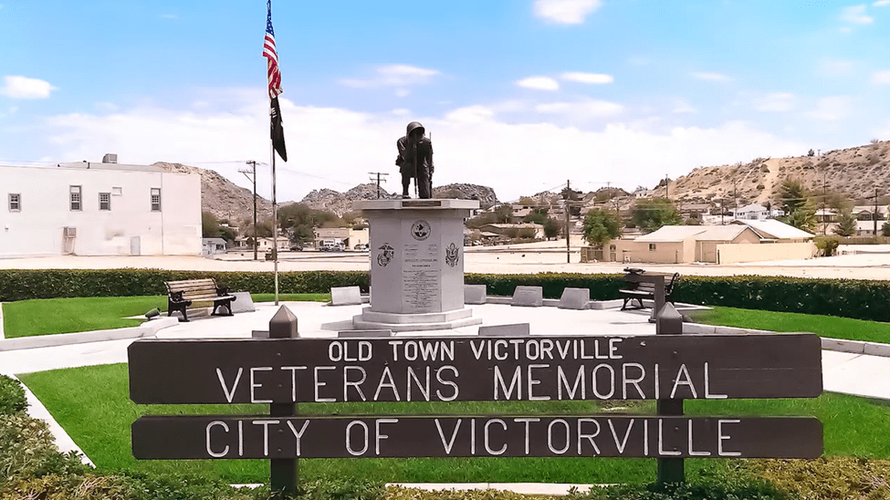
Eventually, the city of Victorville was incorporated on Sept. 21, 1962. The former military base was annexed into the city on July 21, 1993, and has been renamed Southern California Logistics Airport. Today, Victorville has a population of over 134,000.
The information in this historical feature was originally part of a video series produced by the Assessor-Recorder-County Clerk’s office.
Additional County Update News – May 1, 2025
- County breaks ground on new Animal Care Center in Bloomington
- Board actions, April 29
- Get an early look at the 2025-26 county budget at May 6 workshop
- San Bernardino County celebrates empowerment for Latino entrepreneurs at Emprendedor@s program graduation
- San Bernardino County makes significant investment in local nonprofits through revolving loan fund
- Arrowhead Regional Medical Center joined OneLegacy to honor donors, recipients during Donate life Month
- IHSS Public Authority provides caregivers access to training at inaugural Caregiver Training Summit
- Volunteer Income Tax Assistance program exceeds last season’s filings with $25.5M in tax refunds
- County Library and Animal Care team up to promote literacy and pet adoptions
- Calico Ghost Town draws the attention of the international press
- San Bernardino County destinations: Alger Creek
- Call for submissions: Share your favorite San Bernardino County destinations
- Things to do in San Bernardino County
- Pet of the Week